Land Survey
About
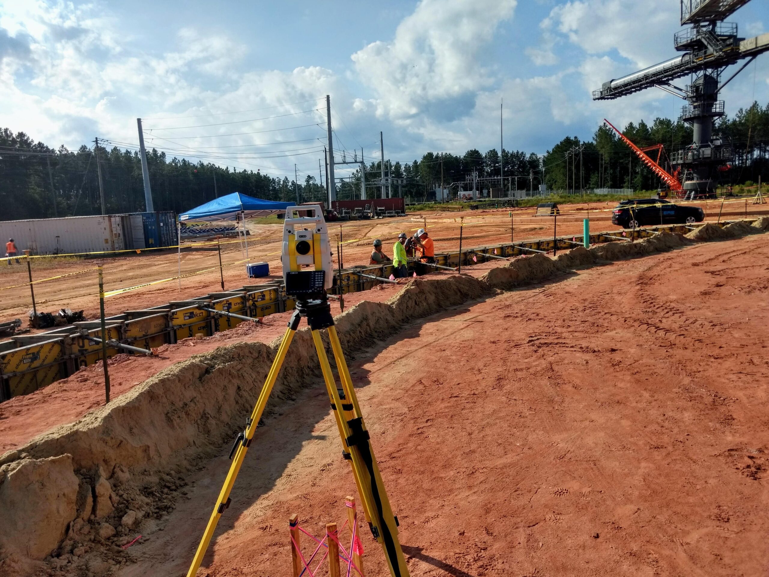
EAS provides a full range of Professional Land Surveying services to a wide variety of public and private sector clients to meet their ever-changing needs. EAS personnel utilize the latest survey technologies with a customer service driven management team to provide reliable information quickly and accurately.
EAS has the capability to assist everyone with surveying needs: personal homeowners, residential/commercial/industrial developers, architects and engineers, municipality / public officials, attorneys, facility managers, real estate professionals, construction teams – EAS can tailor the product and service to suit the specific needs of our clients.


Markets
- Commercial
- Residential
- Government
- Transportation
- Retail
What We Do
Comprehensive List of Our Survey Services
- RALTA / NSPS Land Title Surveys
- RSubdivisions and Recombination Plats
- RBoundary Surveys
- RTopographic Surveys
- RGIS Mapping and Surveying
- RFoundation Surveys
- RElevation Certificates
- RRight-of-Way Plats and Surveys
- REasement Plats and Surveys
- RAs-built Surveys
- RAnnexation and Dedication Plats
- RResidential Construction Layout
- RResidential - Plot Plans
- RResidential - House Staking
- RResidential - Pin Footings
- RResidential - Foundation Survey
- RResidential - Final Survey
- RFloodplain Surveys
- RSubdivision Lot Fits
- RVolume Analysis
- RBathymetric Analysis
- RAnchor Bolt Surveys
- R3D Digital Terrain Modeling
- RUAV Aerial Orthomosaic
- RUAV Aerial LiDAR (Topography)
- RTerrestrial LiDAR (Topography)
- RCommercial Construction Layout
- RCommercial - Control Layout
- RCommercial - Clearing Limits
- RCommercial - Utility Layout
- RCommercial - Curb and Building Layout
- RCommercial - Foundation Survey
- RCommercial - As-built and Closeout Survey
- ROther survey needs as requested
